St. Patrick's Church is located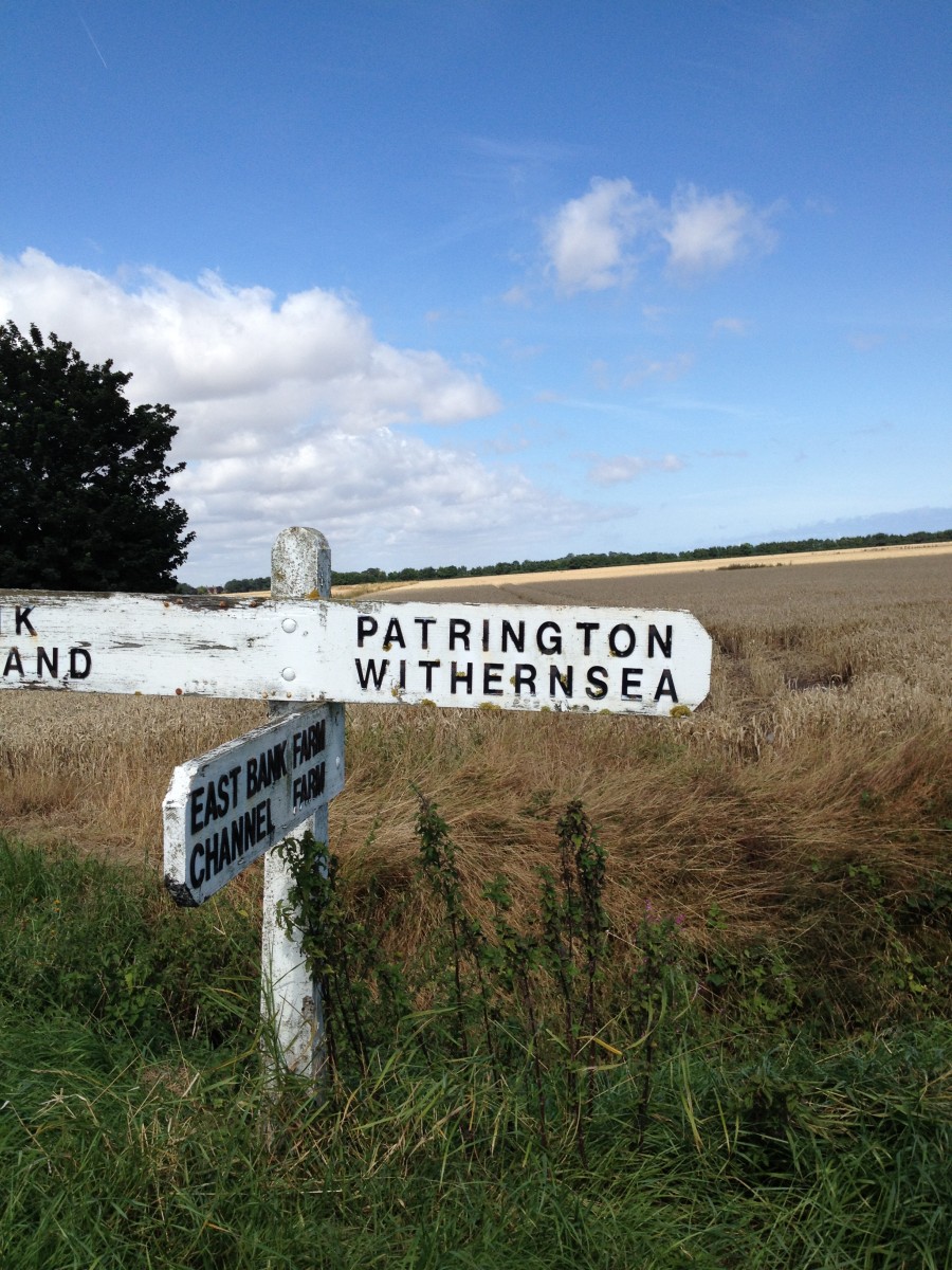 on the Holderness peninsula, which runs between the North Sea and the Humber Estuary, in the village of Patrington. It is some sixteen miles east of Kingston upon Hull and is between High Street and Church Lane. The postcode is HU12 0RE. The spire is visible for long distances across the generally flat surrounding countyrside.
The most straightforward approach by road is the A1033 from Hull, taking the right fork into the village centre when entering Patrington (B1445 to Easington). The church is on the right beyond the Market Place, with a large car park just off High Street.
Road access from the north is either from the A165 and a series of B and unclassified roads, or from the B1242 coastal road to Withernsea, linking with the A1033 at Withernsea - map or satnav recommended!
Public transport to the village is by East Yorkshire buses from Hull Interchange (numbers 75, and X7). Journey time is about one hour. The nearest railway access is Hull Paragon Station adjacent to the Interchange. Cycling is relatively easy as the topography is fairly flat, but road surfaces are generally poor and there is a substantial amount of farm and goods traffic - please take care.
The Church Hall is located off Northside Court and is accessible on foot by crossing the road and taking the footpath next to the The Wolfpack public house, about three minutes walk from the church.